


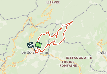

11.9 km | 16.6 km-effort

User


FREE GPS app for hiking
 SityTrail
IGN / Geographical institutes
SityTrail World
The world is yours!
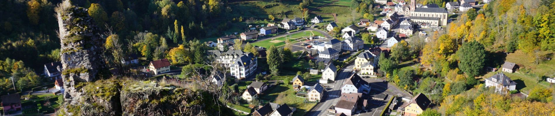
Trail Walking of 15 km to be discovered at Grand Est, Haut-Rhin, Le Bonhomme. This trail is proposed by oscar1.
Montée rude à certains endroits sur 6,500 kms environ jusqu'au Grand Brézouard. Puis de superbes vues sur le reste du parcours.


Walking

Walking

Mountain bike
Walking

Walking
Walking

Walking
Walking

On foot